


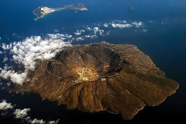


Crete
HISTORY
The history of Crete begins from the Neolithic Age, as the findings attest. However, its development seems intense in the Bronze Age. It is the period of the Minoan civilization, where the majestic palaces were built and Crete gained great naval power. In the 11th century BC. the palaces are destroyed and Doric tribes invade the island. During the Classical times Crete presented itself without any particular cultural flourishes, while in Roman and Byzantine times it was tried by many pirate raids. After the fall of Constantinople it falls into the hands of the Venetians. During this period it is experiencing great economic and spiritual prosperity. In 1669 it was occupied by the Turks after many years of struggle. The Cretans took an active part in the Revolution of 1821. They managed to unite with Greece in 1913.
GEOGRAPHY
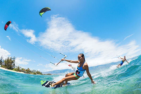
Crete is Greece's largest island and one of the largest islands in the Mediterranean. It is also the southernmost part of Europe. It is located between three continents: Europe, Asia and Africa. It lies north of the Cretan Sea, south of the Libyan Sea, west of the Southern Ionian Sea and the Mediterranean and east of the Carpathian Sea.
It has an area of 8.338 Km2 and a population of 536.980 inhabitants. It is divided into four prefectures: Chania with the capital of Chania, Rethymnon with the capital of Rethymnon, Heraklion with the capital of Heraklion and Lassithi with the capital of Agios Nikolaos. Crete is surrounded by small islets or islets that are all uninhabited. The only habitable island is Gavdos, to the south.
MORPHOLOGY
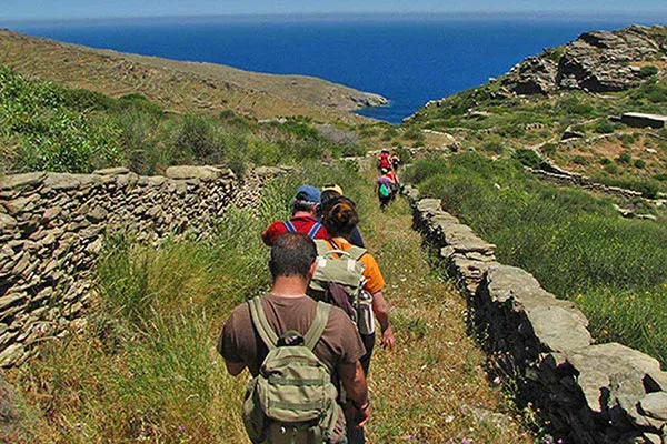
The territory of Crete is mostly mountainous. In many places they are rocky. In detail, its breakdown into categories is as follows: 33% lowland, 26% semi-mountainous and 41% mountainous. There are three main mountain ranges of Crete: the Lefka Ori (White Mountains), Idi and Dikti. The White Mountains or Madaras are in its western part and have a higher peak at Pachnes (2.452 m). Idi or Psiloritis occupies the center of the island and has the highest peak at the Timio Stavro (2.456 m). Between Heraklion and Lasithi rises the Dicti, with the highest peak being Endichi (2.148 m).
At the eastern end of the island are the Sitia Mountains, with the highest peak being Afendis (1.475 m). In the south of Heraklion lies the low Asterousia mountain range (1.231 m.) Only two are the plains of Crete: Chania and Mesara. But it has many plateaus: Armeni in Sitia, Fourni in Merabello, of Lassithi, Kallikratos of Sfakia, Askyfou of Sfakia, Anopoleos and Aradena of Sfakia and Omalos.
The subsoil of Crete is rich in mineral wealth. Iron, lead, steatite, magnesium, lignite, sulfur, copper and zinc were found. There are also precious metals such as gold, silver and precious stones.
The main rivers of Crete are Anapodiaris, Geropotamos, Platys, Kourtaliotis, Karteros, Mylopotamos and Tauronitis. There are three small lakes in Crete. The biggest is in Kournas, the second one is in the city of Agios Nikolaos and the third one in Kissamos province. The coasts of Crete are crowded, with small and large bays. There are four major peninsulas: Grabousa, Rodopou, Akrotiri and Sitia. Along the coast are the gulfs: Kissamos, Chania, Heraklion and Mirabello.
CLIMATE
The climate of Crete is generally mild and very healthy. Because it is wet all over the sea in summer it is cool and winter is mild. But in high mountains, winter is heavy, and in closed valleys in summer it is very hot.
ECONOMY
The economy of Crete is mainly based on agriculture, livestock breeding, domestic art and tourism.