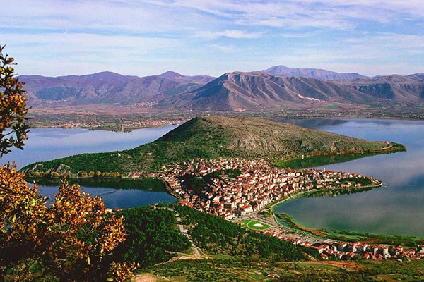
Attiki
Attica-Islands
Kythira
Mylopotamos
Altitude: 283 m
Population: 49
Postal Code: 80100
Telephone code: 27360
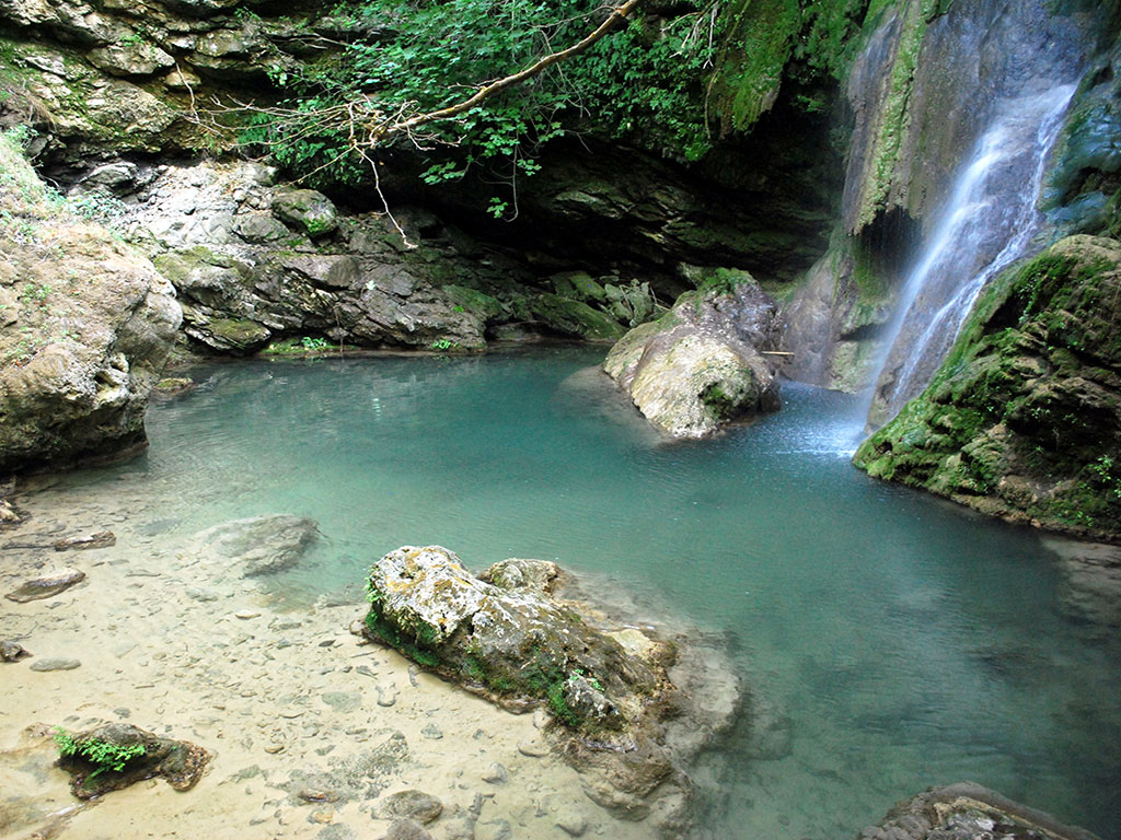
Mylopotamos is an attractive neat and well-maintained village on the island of Kythera. It is one of the oldest and most beautiful villages on the island with numerous of natural and cultural attractions spread all around. This little village is considered to be a traditional settlement and has so much to offer. It is full of old historical houses, old springs where many years ago we did see village women washing clothes, mills and a waterfall in the gorge, but the top-rated attraction is the deserted medieval village behind the castle walls of Kato Chora. Outside the village, you will find the spectacular cave of Agia Sofia on a steep rockface, moreover the small monastery of Panagia Orfani and the church of Agios Petros.
Go down the path to visit the watermills and the waterfall and have a swim with the nymphs. The watermills walk starts from the village and is definitely worth it, if the water is flowing. Along the way, you will come across 23 watermills, remnants of the past. Return to the village and visit some of the quaint shops selling good quality artisan items, before sitting in the town square under the old plane trees and eating delicious Greek food at one of the many tavernas. For a refreshing swim, visit the beaches of Limnionas and Kalami, around 15 min away. You will probably find yourself crossing Mylopotamos a number of times during your holiday, so do make a stop to cool off in the shade of the trees and stroll around the picturesque village. In Mylopotamos, you can find small hotels, and traditional hostels to stay as well as nice cafes and tavernas to dine.
Check if the village is officially recognized for its cultural or historical significance. This includes monuments, protected settlements, and historical settlements according to the Ministry of Culture.
This monument is currently not officially protected.
GPS Coordinates: 36.24243, 22.94543

Distance: 9.15 km
Distance: 0.48 km

Distance: 14.02 km

Distance: 1.30 km
 Afytos (Athytos)
Afytos: A Scenic Seaside Village to Explore in Halkidiki
 Pythagoreio Samos
A Historic Seaside Village with UNESCO Heritage on Samos
 Nikia Nisyros
Nisyros Mountain Village with Views over a Living Volcano
 Chora of Serifos
Chora of Serifos: A Hilltop Gem Above the Aegean
.jpg) Koutouloufari
Koutouloufari
 Evdilos
The Scenic Gateway to Ikaria Island, North Aegean
 Chora of Patmos
A Historic Hilltop Town Shaped by Faith and Tradition
Explore more of Greece’s highlights, from charming mountain villages and historic sites to stunning waterfalls and top museums. Plan your next adventure and uncover unforgettable experiences.