Pláka is the old historical neighborhood of Athens, clustered around the northern and eastern slopes of the
Acropolis, and incorporating labyrinthine streets and neoclassical architecture. Plaka is built on top of the residential areas of the ancient town of Athens. It is known as the "Neighborhood of the Gods" due to its proximity to the
Acropolis and its many archaeological sites. The name "Plaka" was not in use until after the Greek War of Independence. Instead, the Athenians of that time referred to the area by various names such as Alikokou, Kontito, Kandili, or by the names of the local churches. The name Plaka became commonly in use in the first years of the rule of King Otto. The origin of the name is uncertain: it has been theorized to come from Arvanite "Pliak Athena", meaning "Old Athens", or from the presence of a "plaque" which once marked its central intersection. Plaka is on the northeast slope of
Acropolis, between Syntagma and Monastiraki square. Adrianou Street (running north and south) is the largest and most central street in Plaka and divides it into two areas: the upper level, Ano Plaka located right under the
Acropolis and the lower level, Kato Plaka situated between Syntagma and Monastiraki.
Plaka was developed mostly around the ruins of
Ancient Agora of Athens in an area that has been continuously inhabited since antiquity. During the years of Ottoman rule, Plaka was known as the "Turkish quarter of Athens", and the seat of the Turkish Voevode (Governor). During the Greek War of Independence, Plaka like the rest of Athens, was temporarily abandoned by its inhabitants because of the severe battles that took place in 1826. The area was repopulated during the first years of King Otto's rule. Plaka had a sizable Arvanite community till the late 19th century, which led some to refer to it as the Arvanite quarter of Athens. At the same period the neighborhood of Anafiotika, featuring traditional Cycladic architecture, was built by settlers from the Aegean island of Anafi. In 1884 a fire burned down a large part of the neighborhood which gave the opportunity for the archaeologists to conduct excavations in the Roman Market and Hadrian’s library. Excavations have been taking place continuously since the 19th century.
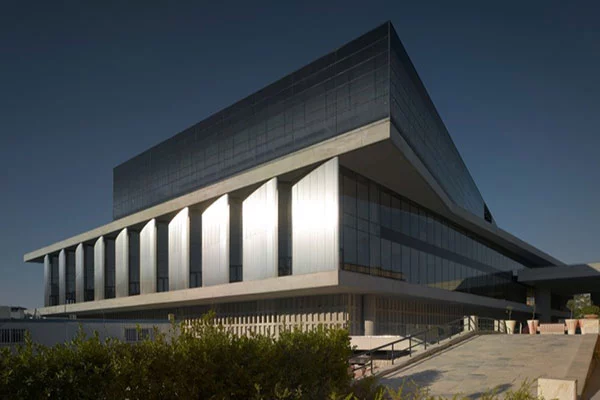
There are museums, theaters, taverns, restaurants, cafes and shops with tourist items in the area, while buildings of famous citizens of old Athens are preserved. Museums in Plaka include the new
Acropolis Museum, the new Jewish Museum of Greece, the Museum of Greek Folk Art, an annex of which is the Old Public Baths building, the Frissiras Museum, the Museum of Popular Music Instruments, the Museum of Pavlos and Alexandra Kanellopoulou and the Athens University Museum.
Plaka is visited by hundreds of thousands of tourists around the year, and is under strict zoning and conservation regulations, as the only neighborhood in Athens where all utilities (water, power, cable television, telephone, internet, and sewage) lie underground in fully accessible, custom-made tunneling.
Sites
One of the most beautiful archeological sites of Athens and at the same time one of the most beautiful places for walking. The two most visible and impressive monuments of the area are the stoa of Attalos and the "Thissio". The latter is the best preserved ancient temple in our country despite its long and turbulent history. "Thiseio" is not a temple of Theseus as it was believed in the past, but that this temple was dedicated to Athena Ergani and Hephaestus, gods of craftsmen.
This fact indicates a fragmentary inscription that was found and exists there. The restoration was done by the American School of Archeology from 1953-1956. Inside there is a museum with exhibits from the excavations. The Stoa for the Athenians was not only a commercial point but also a meeting place. The most important market segment, however, is the least visible.
A few steps to the east, there is a different monument, the library of Hadrian, a building of the 2nd century AD. It is the large fenced area, opposite the metro station in Monastiraki where the columns of its western facade dominate. The building was not only a library and a place of education in which philosophers and orators could read and discuss in peace, but also a center of administrative and religious functions. Signs of the later use of the space in late antiquity and the Middle Ages are the ruins of the church of Megali Panagia, the largest church in Athens for a while, but also the fresco from the church of Agios Asomatos in Skalia.
2. The Roman Agora
The famous Tower of the Winds is just a block up from Adrianou on Aeolou street and it is a part of the ancient Roman Agora. It was believed by later generations to be a place of great magic and to be the grave of Phillip of Macedon but it was actually a meteorological station from the first century built by the Syrian Astronomer Andronikos Kyrrhestes. It had a hydrolic clock fueled from a reservoir on the south side and inside was a mechanical device that represented the sun, the moon and the five known planets. The frieze which represents the winds and their personalities is the most interesting part of the building and deserves a closer look. Just across the road is the Museum of Popular Music, one of the best museums in Athens.
Kyrristou Street is an exception, as it is a straight road in a neighborhood where the labyrinthine straits are the rule. The reason is that down of the road is an ancient stadium. Always on Kyrristou Street, to the left of the monument of the Winds, you will find a few meters below the Bath of the Winds. It is a hammam built during the Turkish occupation. Today, it has been renovated and used as a place of culture and events.
3. The Mosque of Mehmet the Conqueror
The Mosque on the grounds of the Roman Agora was called the Mosque of Mehmet the Conqueror, built around 1458 for the visit to Athens by Sultan Mehmet a fan of the ancient Greek philosophers. Later the Mosque was known as the Wheat Bazaar Mosque because it was next to the yearly wheat market. It was briefly a Catholic church during the five months that the Venetians occupied the city. The minaret was demolished after Greece won its independence and the mosque became a school for teachers and then a bakery for the army. Now it is just used for storage by the archaeologists working on the Roman Agora.
4. Tripodon Street and Lysikrates Monument
We continue to Tripodon Street, which is considered the oldest street in Athens, because a large part of it coincides with the ancient one. The Guinness Book of World Records refers to it as the longest street in the city since they have kept the same name for almost 25 centuries. It was one of the widest streets in ancient Athens, six meters wide and the shortest to go from the theater of Dionysus to the Agora.
Most of the monuments on Tripodon Street were destroyed over time. On the Makriyanni side of the Plaka is the Monument of Lysikrates built to commemorate a series of plays. It is the last remaining of many which lined what is now Tripodon street. The Jesuits had a house next to it which in 1658 was bought by the Capuchins who then bought the monument and used it as a chapel. The Capuchan Monastery was the closest thing Athens had to a hotel. Chateaubriand stayed there as did Lord Byron, where he wrote part of Childe Harold. Amazingly, Lord Elgin wanted to take the monument apart and reassemble it in England and was only stopped because it belonged to the Capuchans and for that reason the Turkish Viavode (Governor) could not give his permission. You can enter the site, it is free, and walk on the ancient road that used to be Tripodon Street.

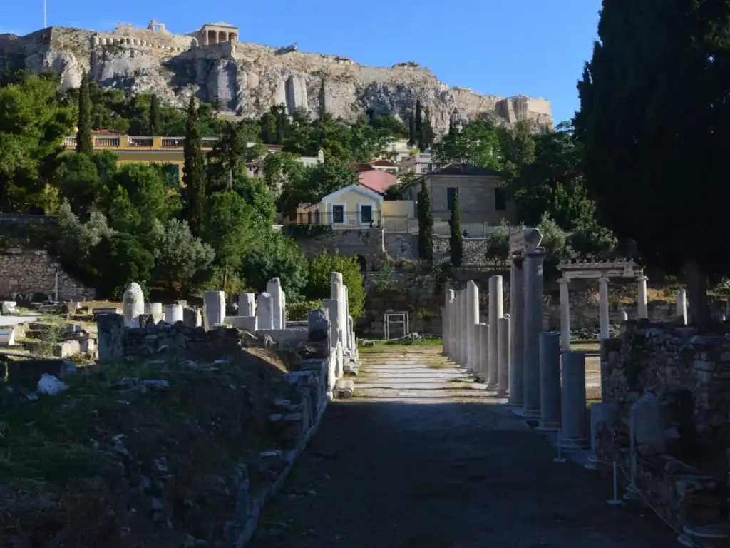


 Tabakaria Chania
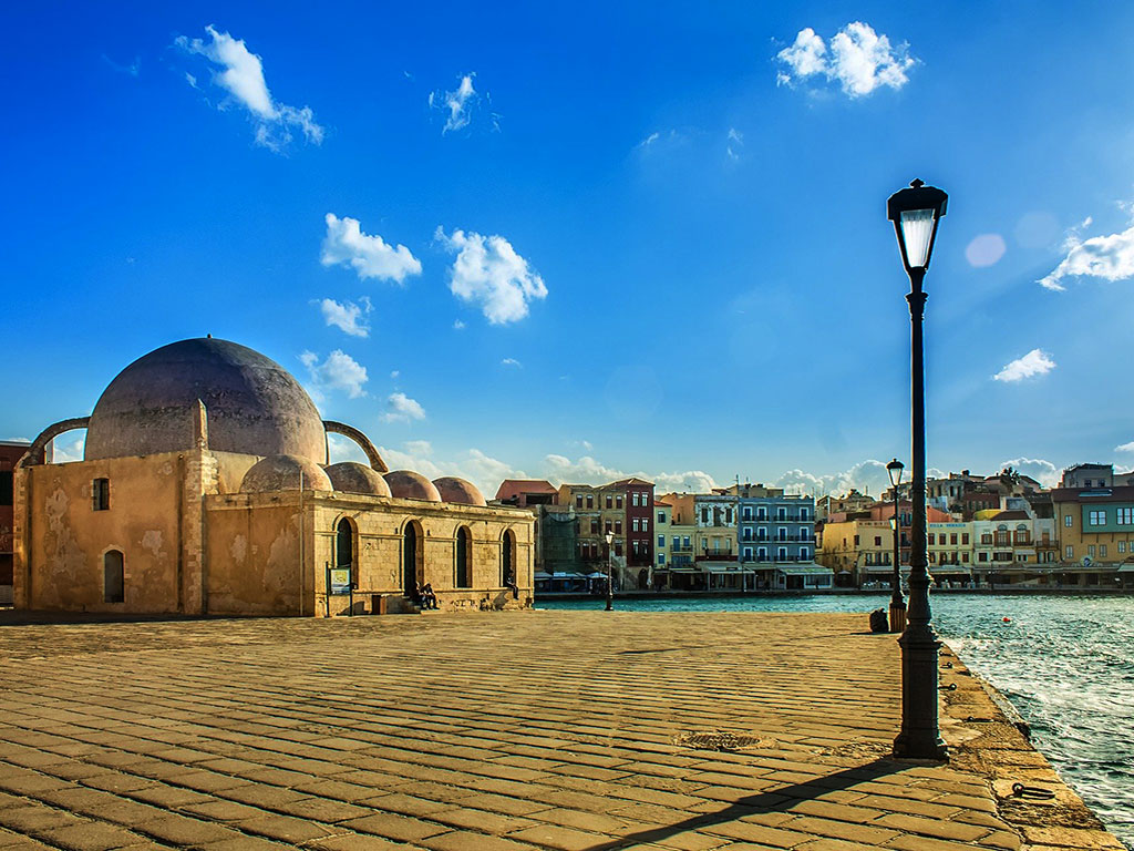 Chania Old Town
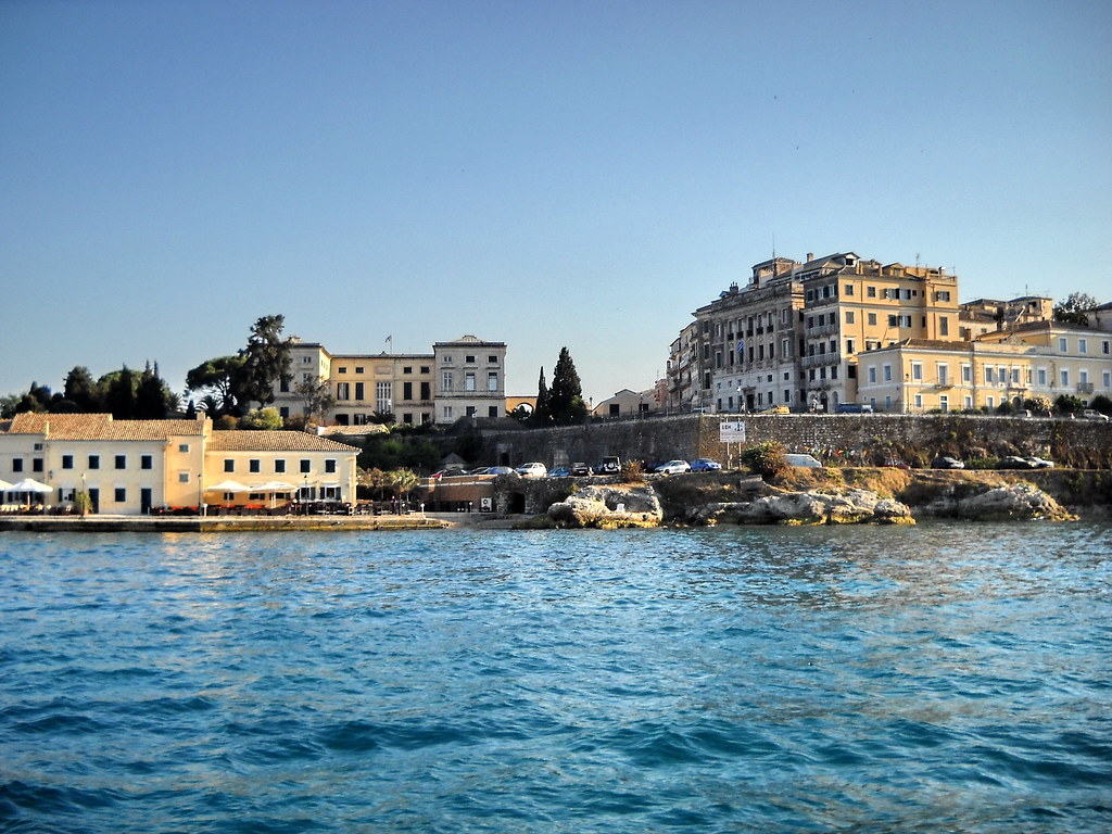 Corfu Old Town
 Doltso Quarter
 Varosi District Edessa
 Charmaína Quarter in Amfissa
 Old Town of Xanthi