Ionian Islands
Corfu
Paxoi
Μετάφραση 
Tripitos Arch is one of the most impressive natural landmarks on the west coast of Paxos. This spectacular rock formation is part of a collapsed sea cave, which left behind a large natural arch rising above the clear blue waters of the Ionian Sea. The formation is also known locally as Kamara Tripitou and is often described as a natural bridge.
The arch reaches approximately 20 metres at its highest point and creates an impressive sight against the surrounding coastline. The combination of the dramatic rock formation and the turquoise waters makes Tripitos one of the most photographed natural attractions in Paxos.
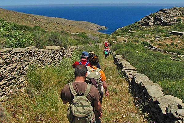
Tripitos Arch can be reached either by boat or on foot. The Tripitos Arch walking trail starts near Ozias and takes around 10–15 minutes, following narrow and occasionally rocky paths towards the coast. The route offers scenic views along the way and is relatively short, but some sections are steep and uneven.
The Tripitos Arch trail difficulty is therefore moderate rather than challenging in terms of distance, but visitors should wear suitable footwear and take care on the rougher sections. The final approach and the area around the top of the arch can feel exposed, particularly for anyone uncomfortable with heights. If you are not confident near steep drops, it is better to enjoy the view from a safe position overlooking the arch rather than walking directly across it.
The view of Tripitos Arch above the bright blue sea is one of the best photo opportunities in Paxos. From the surrounding cliffs, you can capture the full scale and shape of the natural arch, while a boat trip offers a different perspective from the water.
A visit can also be combined with a swim in the nearby waters, making Tripitos a rewarding stop for travellers exploring the western coastline.
Tripitos Arch is one of the main natural attractions of Paxos and is well worth visiting for its dramatic scenery, coastal views and unusual rock formation.
Learn whether this natural monument has been officially declared a protected site and discover its conservation significance.
This monument is currently not officially protected.
GPS Coordinates: 39.17899, 20.18326
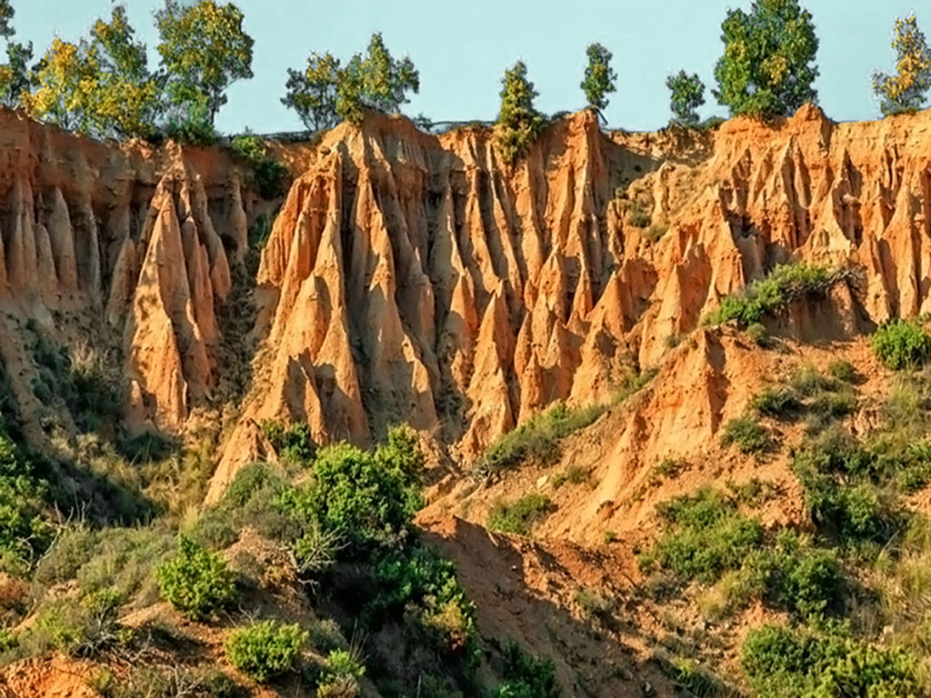 Boucharia - Nochtaria
Boucharia & Nochtaria – A Rare Geological Wonder in Kozani
 Fairy Garden
Fairy Garden – Discover the Mysterious Hole in Messinia
 The Monolithic Moonscape of Volax
Monolithic Moonscape of Volax – Tinos’ Surreal Landscape
 Ortholithos Rock of Paxos
Visit Ortholithos Rock – Paxos’ Breathtaking Natural Wonder
 Vathy Mouzi
Vathy Mouzi – The Mysterious “Black Hole” of Mani
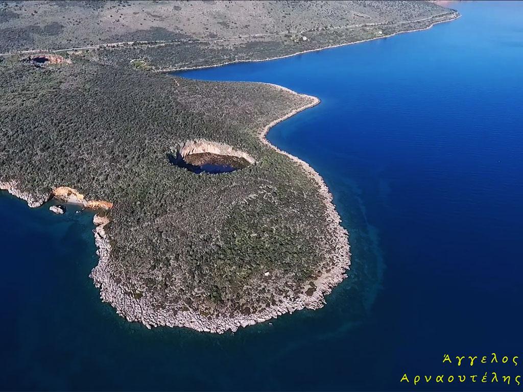 Itea craters
Itea Craters – A Series of Mysterious Formations in Greece
.jpg) Didyma Sinkholes
Didyma Sinkholes
Didyma Sinkholes - Explore Argolida’s Twin Craters
Discover Greece’s most breathtaking natural monuments —from spectacular caves and vast geoparks to ancient volcanoes and dramatic gorges. Explore more destinations that showcase Greece’s unique geology and landscapes.